- Заповедники России

Содержание
- 2. This national park is called State Natural Reserve "Azas" was created the 11 of January 1985
- 3. The reserve has the amazing beauty of the forest and alpine landscapes with volcanoes, cirques, canyons,
- 4. The climate of the reserve is sharply continental, moderately humid. Low rise mountainous rim of the
- 5. Todzha Basin by hypsometric position, climate and vegetation is midland character. The bottom of the basin
- 6. The entire hydrological network Todzha depression belongs to the basin of the river Bolshoi Yenisei (Bii-Khem).
- 8. Скачать презентацию
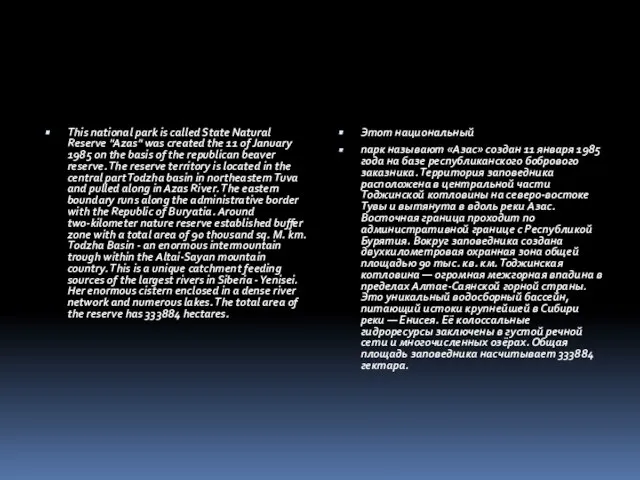
This national park is called State Natural Reserve "Azas" was created
This national park is called State Natural Reserve "Azas" was created

The reserve has the amazing beauty of the forest and alpine
The reserve has the amazing beauty of the forest and alpine

The climate of the reserve is sharply continental, moderately humid. Low
The climate of the reserve is sharply continental, moderately humid. Low
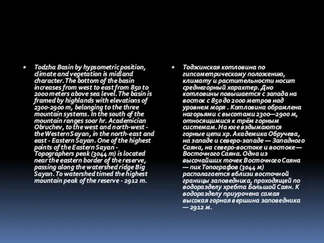
Todzha Basin by hypsometric position, climate and vegetation is midland character.
Todzha Basin by hypsometric position, climate and vegetation is midland character.

The entire hydrological network Todzha depression belongs to the basin of
The entire hydrological network Todzha depression belongs to the basin of
 Стилистика английского языка Составитель – д.ф.н., проф. Сулейманова О.А.
  How are you?
 Kew Gardens Kew, London Open: daily 9.30 – 6.30 Closed:25 Dec., 1 Jan Tel: 020 8940 1171
 The Waitomo Caves The Caves are located at the eponymous village in the North Island of New Zealand. They were formed about 30 million years ago.
  My dream school food. Firstly, foreign food could be added
 Past simple vs past continuous
 The role of sport in our life.
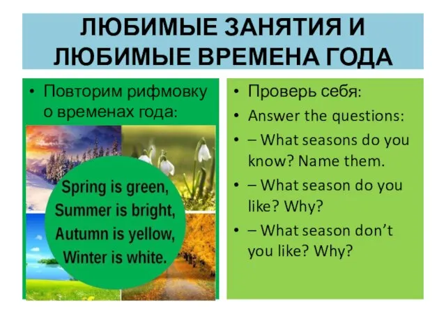 Любимые занятия и любимые времена года
 Neurosurgery
 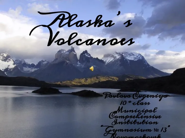 Презентация к уроку английского языка "Alaska’s Volcanoes" - скачать
  Let's read
 Презентация к уроку английского языка "Биболетова 5 класс" - скачать бесплатно
 Sakura game
 Презентация к уроку английского языка "Education in Japan" - скачать бесплатно
 Mouse and Mice Rhymes for children
  Present perfect
 Алфавит - игра
 Backpackers guide to southeast Asia
 What should tourists do when they visit different countries? Dress right
 You're a fifteen-yearold girl, who wants to make a large dragon
 Презентация к уроку английского языка "Plurals" - скачать
  7
7 Пособие Английский язык Артикли Автор :Тарасова А.Л., учитель английского языка гимназия № 8 г.Шумерли Чувашской Республики 2008 г.
 Грамматика со Смешариками
  Post Office
 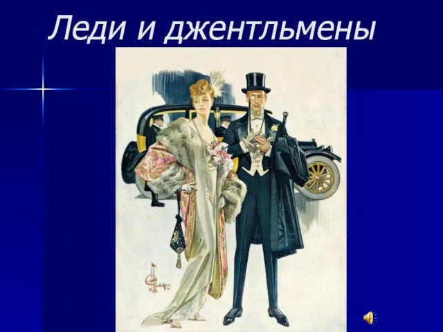 Леди и джентльмены
 Презентация к уроку английского языка "Телефон доверия" - скачать
  Презентация по английскому языку Артикль и его употребление