- Physical geography of Australia

Содержание
- 2. Geography of Australia The geography of Australia encompasses a wide variety of biogeographic regions being the
- 3. Neighboring countries of Australia
- 4. Physical geography Australia is a continent and an island located in Oceania between the Indian Ocean
- 5. Size of Australia
- 6. The Australian mainland has a total coastline length of 35,821 km with an additional 23,860 km
- 7. Continental Extremities
- 8. The western half of Australia consists of the Western Plateau, which rises to mountain heights near
- 11. Скачать презентацию
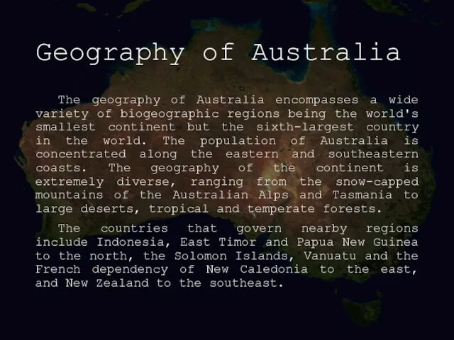
Geography of Australia
The geography of Australia encompasses a wide variety of
Geography of Australia
The geography of Australia encompasses a wide variety of
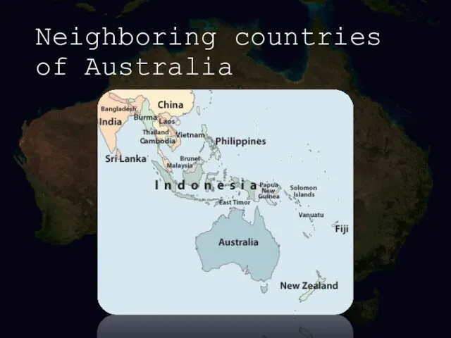
Neighboring countries of Australia
Neighboring countries of Australia
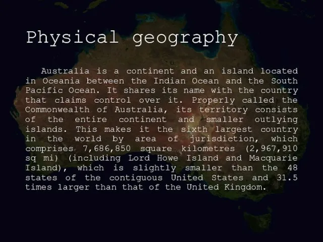
Physical geography
Australia is a continent and an island located in Oceania
Physical geography
Australia is a continent and an island located in Oceania
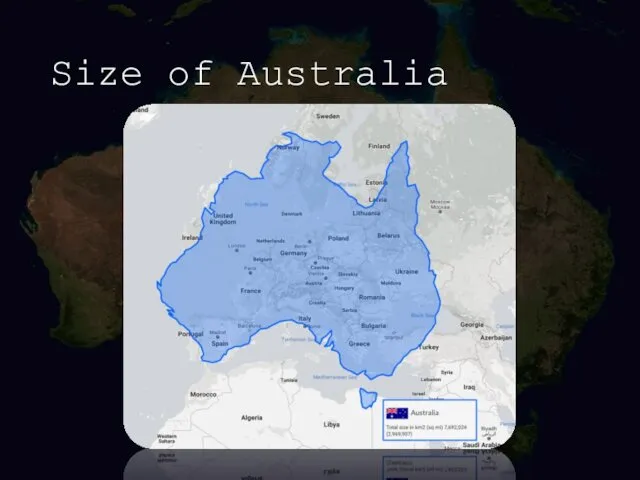
Size of Australia
Size of Australia

The Australian mainland has a total coastline length of 35,821 km
The Australian mainland has a total coastline length of 35,821 km
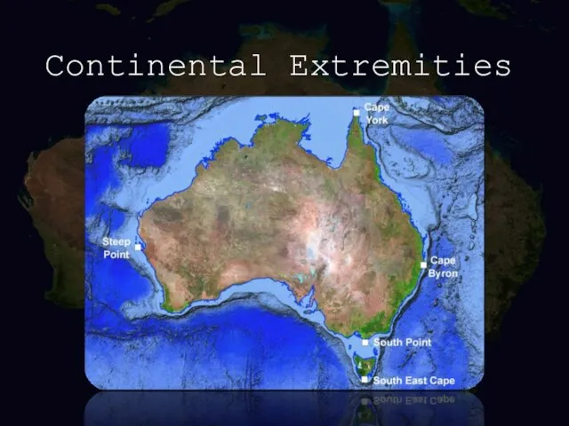
Continental Extremities
Continental Extremities
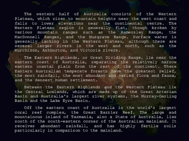
The western half of Australia consists of the Western Plateau, which
The western half of Australia consists of the Western Plateau, which

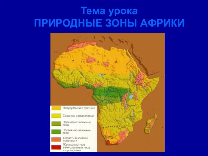 Природные зоны Африки
 Горнодобывающая промышленность
 Почему появляются водопады? - презентация к уроку Географии_
 Презентация Основания возникновения,изменения и прекращения правоотношений по социальному обеспечению
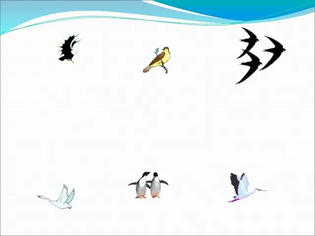 День птиц - презентация к уроку Географии
 Khabarovsk
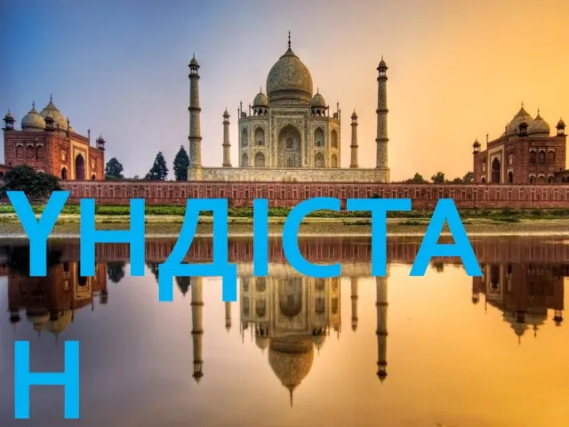 Үндістан
 Европейский Север (9 класс) - презентация_
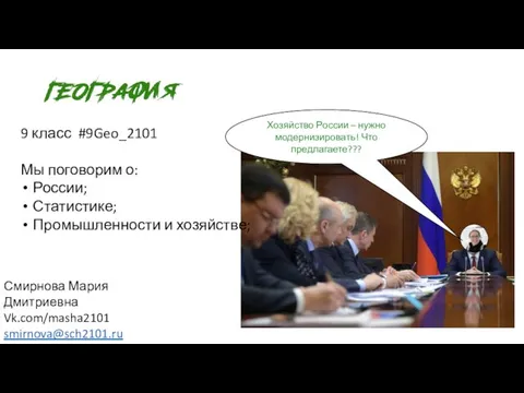 География ( 9 класс ). Хозяйство
 Поволжский Район
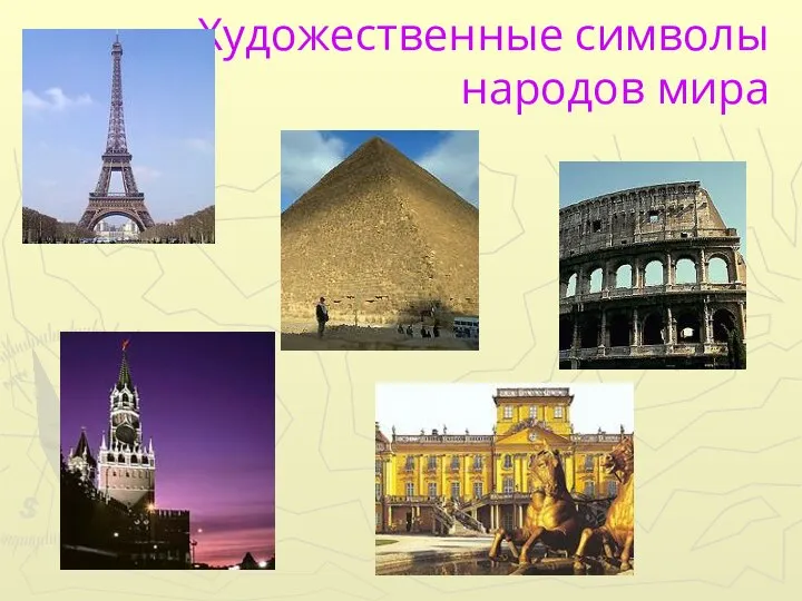 Художественные символы народов мира
 Средняя Америка. Мексика
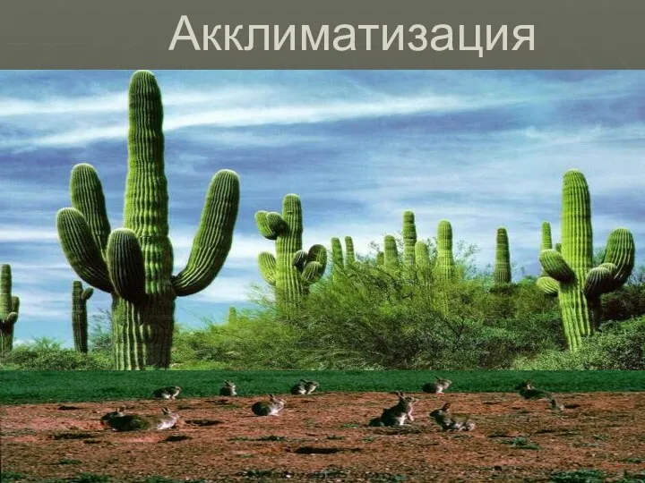 Акклиматизация
  Урок по «Родному Подмосковью», «Живая природа. Почвы»
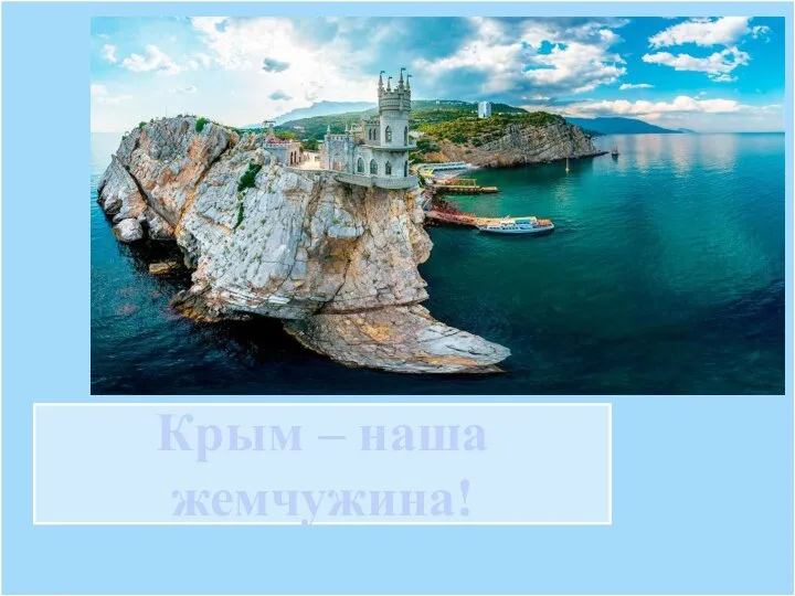 Крым - наша жемчужина!
 План-схема экологической тропы Следопыт
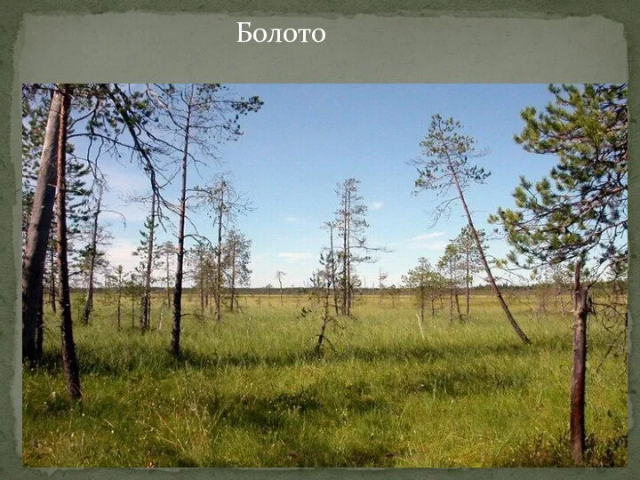 Болото - презентация к уроку Географии_
 лесная промышленность Новосибирской области - презентация к уроку Географии_
 Великие географические открытия
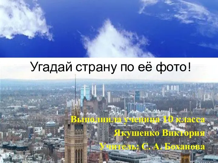 Угадай страну по её фото!
 Крупнейшие землетрясения
 Символы Родины - презентация_
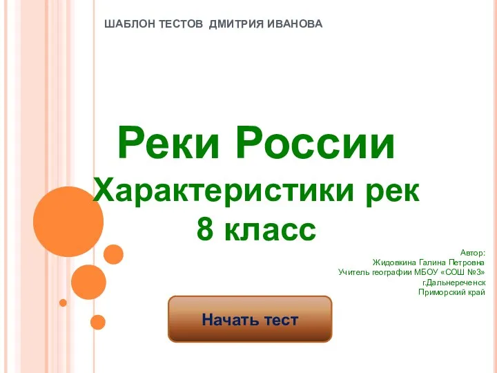 Реки России. Характеристики рек. Тест. 8 класс
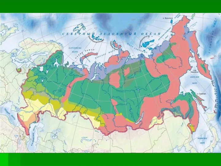 Природные зоны России
 География Алтайского края
  История Анжеро -Судженска
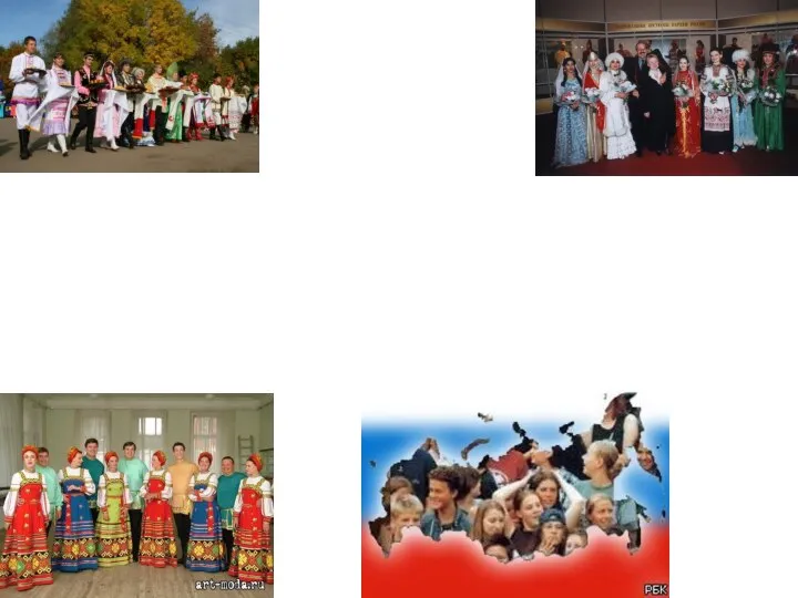 География населения мира. Численность и воспроизводство населения России
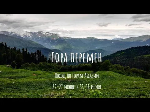 Гора Перемен. Походы в Абхазии