-
Great Britain (United Kingdom of Great Britain and Northern Ireland)

Содержание
- 2. Great Britain on the Map of the World
- 3. England Scotland Wales Northern Ireland Historical Provinces of Great Britain
- 4. The Flag of Great Britain
- 5. «Visiting-Card Great Britain» Area: 244,4 km Population: 59,5 mln people The capital: London Political system: limited
- 6. Coronation of Elizabeth II in 1953. Queen Elizabeth II Queen Elizabeth II on her 80th anniversary
- 7. Physiographic Map of Great Britain Лягушка
- 8. Relief Plains Midland, London. Mountains (old): Pennine (700 m), Cambrian, Northern Scottish Highlands.
- 9. United Kingdom is washed: Atlantic Ocean; North Sea; Irish Sea; Strait Channel;
- 10. Water resources Rivers: Thames, Severn, Spey, Manchester canal.
- 11. climate Marine, temperate. NW January temperature - + 3,5 º C in July - +12 º
- 12. The capital of the UK - LONDON This is how it looks from space. But yes
- 13. Palace of Westminster to the famous hour tower "Big Ben". Here sits the Parliament of the
- 14. Tower of London - Royal castle, built in the 11th century.
- 15. Tower Bridge.
- 16. St. Paul's Cathedral, built in the 17th century by the famous English architect Christopher Wren.
- 17. The Buckingham Palace - official residence of the royal family in London.
- 18. ... Decker buses ..
- 19. AGRICULTURE post-industrial countries A small share of employment in agriculture
- 20. Agriculture - crops - barley, oats, wheat, sugar beet, fodder crops, horticulture (Sh., SW.England), potato (Ulster).
- 22. Скачать презентацию
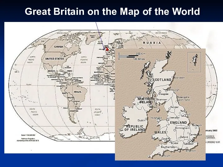
Great Britain on the Map of the World
Great Britain on the Map of the World

England
Scotland
Wales
Northern Ireland
Historical Provinces of Great Britain
England
Scotland
Wales
Northern Ireland
Historical Provinces of Great Britain

The Flag of Great Britain
The Flag of Great Britain

«Visiting-Card Great Britain»
Area: 244,4 km
Population: 59,5 mln people
The capital: London
Political system:
«Visiting-Card Great Britain»
Area: 244,4 km
Population: 59,5 mln people
The capital: London
Political system:
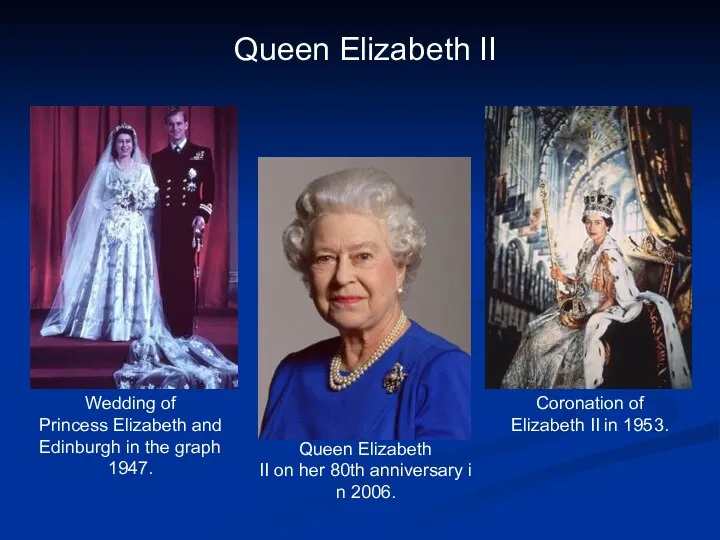
Coronation of Elizabeth II in 1953.
Queen Elizabeth II
Queen Elizabeth II on her 80th anniversary in 2006.
Wedding of Princess Elizabeth and Edinburgh in the graph
1947.
Coronation of Elizabeth II in 1953.
Queen Elizabeth II
Queen Elizabeth II on her 80th anniversary in 2006.
Wedding of Princess Elizabeth and Edinburgh in the graph 1947.

Physiographic Map of Great Britain
Лягушка
Physiographic Map of Great Britain
Лягушка

Relief
Plains Midland, London.
Mountains (old): Pennine (700 m), Cambrian, Northern Scottish Highlands.
Relief
Plains Midland, London.
Mountains (old): Pennine (700 m), Cambrian, Northern Scottish Highlands.
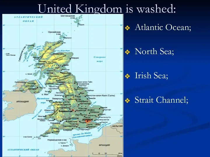
United Kingdom is washed:
Atlantic Ocean;
North Sea;
Irish Sea;
Strait Channel;
United Kingdom is washed:
Atlantic Ocean;
North Sea;
Irish Sea;
Strait Channel;

Water resources
Rivers: Thames, Severn, Spey, Manchester canal.
Water resources
Rivers: Thames, Severn, Spey, Manchester canal.

climate
Marine, temperate.
NW January temperature - + 3,5 º C in July - +12 º C, precipitation 2000 mm.
SE January
climate
Marine, temperate.
NW January temperature - + 3,5 º C in July - +12 º C, precipitation 2000 mm.
SE January
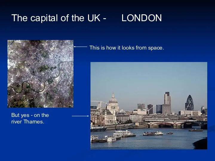
The capital of the UK -
LONDON
This is how it looks from space.
The capital of the UK -
LONDON
This is how it looks from space.
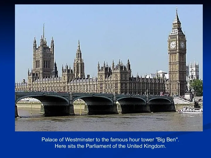
Palace of Westminster to the famous hour tower "Big Ben".
Here sits the Parliament of the United Kingdom.
Palace of Westminster to the famous hour tower "Big Ben".
Here sits the Parliament of the United Kingdom.
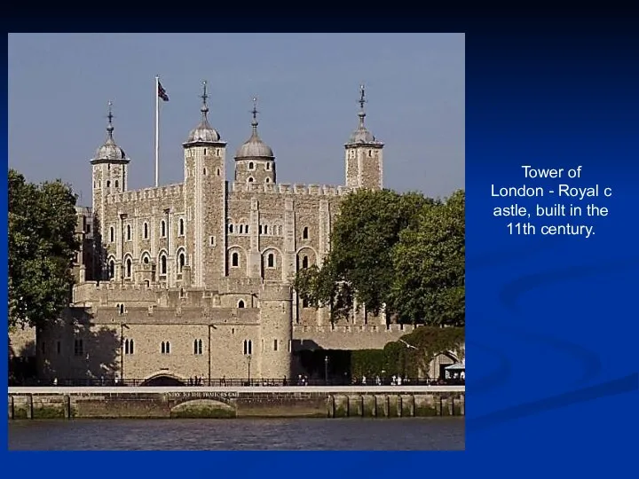
Tower of London - Royal castle, built in the 11th century.
Tower of London - Royal castle, built in the 11th century.

Tower Bridge.
Tower Bridge.
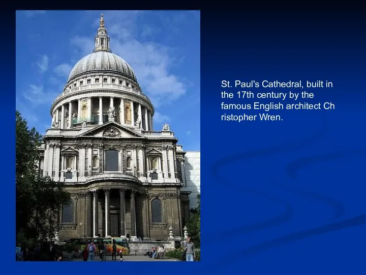
St. Paul's Cathedral, built in the 17th century by the famous English architect Christopher Wren.
St. Paul's Cathedral, built in the 17th century by the famous English architect Christopher Wren.

The Buckingham Palace - official residence of the royal family in London.
The Buckingham Palace - official residence of the royal family in London.

... Decker buses ..
... Decker buses ..

AGRICULTURE
post-industrial countries
A small share of employment in agriculture
AGRICULTURE
post-industrial countries
A small share of employment in agriculture

Agriculture - crops - barley, oats, wheat, sugar beet, fodder crops, horticulture (Sh., SW.England), potato (Ulster).
Brewing industry - brewery Bass.
Agriculture - crops - barley, oats, wheat, sugar beet, fodder crops, horticulture (Sh., SW.England), potato (Ulster).
Brewing industry - brewery Bass.
 Big city problems. Как написать эссе
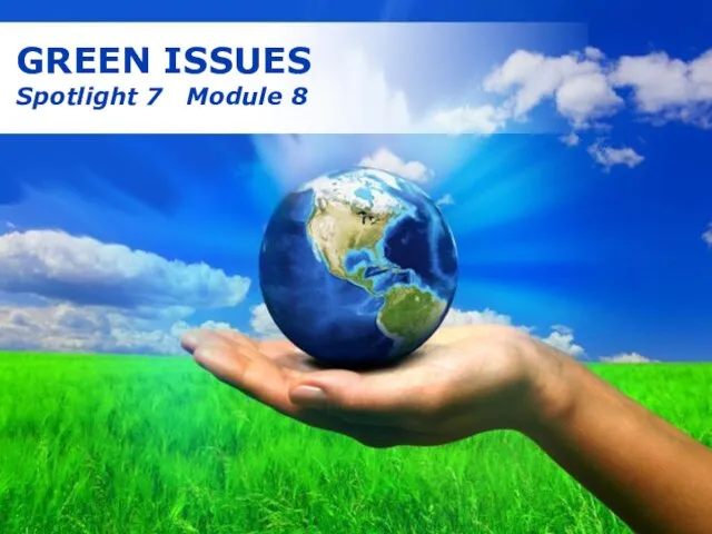 Green issues
 Homework
 Spotlight 9. Module 5. Art &Literature
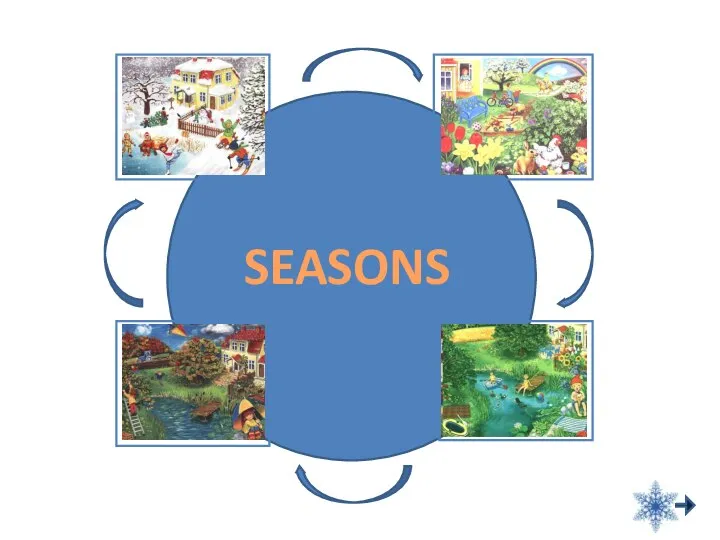 Презентация к уроку английского языка "Seasons" - скачать
 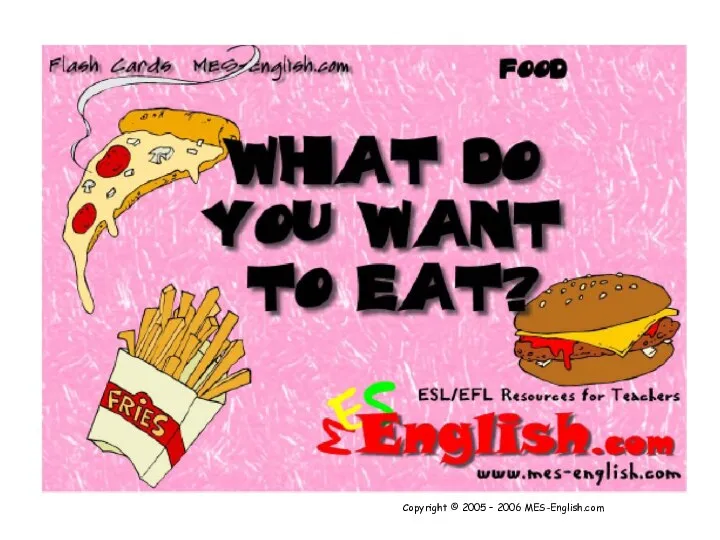 Презентация к уроку английского языка "What do you want to eat?" - скачать
  Groups and movements
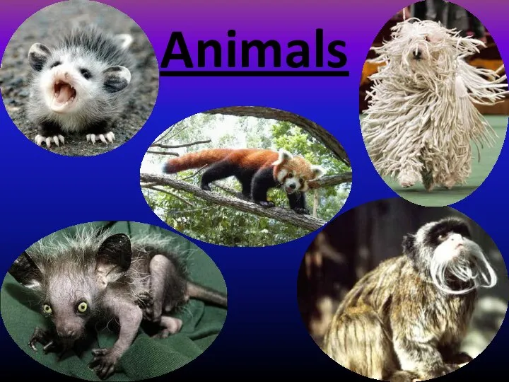 Animals
  United Kingdom Olga Novik Form 10-B
  Презентация к уроку английского языка "ПРАЗДНИК АНГЛИЙСКОЙ ПОЭЗИИ" - скачать бесплатно
 Animal Sounds
 W.Shakespear’s heroines
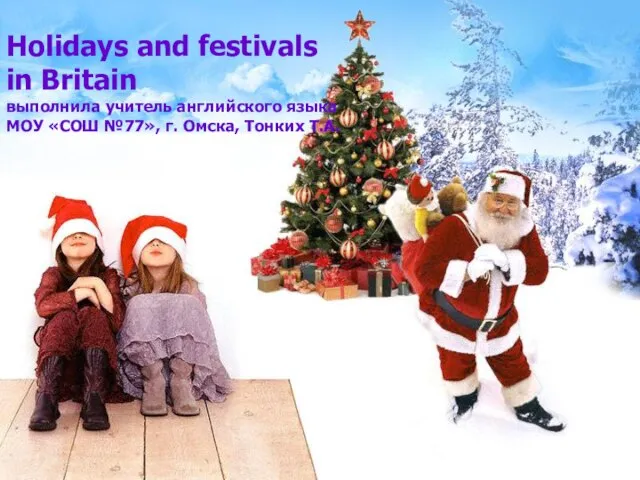 Holidays and festivals in Britain выполнила учитель английского языка МОУ «СОШ №77», г. Омска, Тонких Т.А.
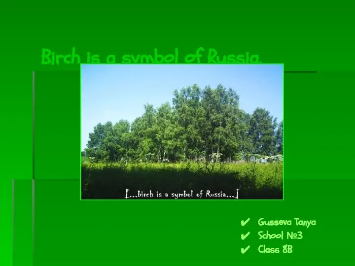 Birch is a symbol of Russia. Gusseva Tanya School №3 Class 8B
 Презентация к уроку английского языка "Root Words" - скачать бесплатно
 Презентация English
 Презентация к уроку английского языка "Голливуд" - скачать бесплатно
 Чтение гласных в английском языке
 One photo to describe (day 2)
 Vitamins for children: pros and cons
 Evolution of Youth Groups in Russia
 Презентация по английскому языку Past, Present, Future. 5 класс
  Глаголы put on и take off. Look and read
 MY HOUSE
  Презентация к уроку английского языка "Техника запоминания иностранных слов" - скачать
  Презентация к уроку английского языка "Britain. The country and its people" - скачать
  Party games for esl
 Презентация к уроку английского языка "Youth subculture" - скачать