- Geodesy. Modern geodetic technique

Содержание
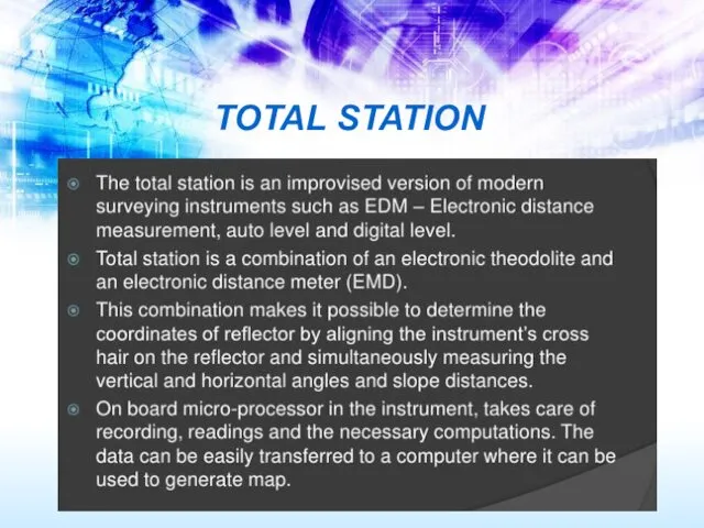
- 2. TOTAL STATION
- 3. Harry Williams, Cartography X Y Z NORTH EAST
- 4. The total station works by firing an infrared laser beam at a reflector mounted on a
- 5. Example based on UTM: NORTH ANGLE DISTANCE X Y TOTAL STATION: UTM = 3676595m N 672156m
- 6. Most total stations have the ability to record survey data as a digital file, which can
- 7. Why use a total station? 1. Field work is carried out very fast. 2. Accuracy of
- 8. When do you use a total station? For mapping small areas (the range of a total
- 11. Comparison of total station and GPS
- 12. SMART STATION Benefits of SmartStation: ■ Control points are not needed; ■ No awkward traversing required;
- 13. Robotic total stations Allows the operator to control the instrument from a distance via remote control
- 15. Скачать презентацию
TOTAL STATION
TOTAL STATION

Harry Williams, Cartography
X
Y
Z
NORTH
EAST
Harry Williams, Cartography
X
Y
Z
NORTH
EAST

The total station works by firing an infrared laser beam at
The total station works by firing an infrared laser beam at
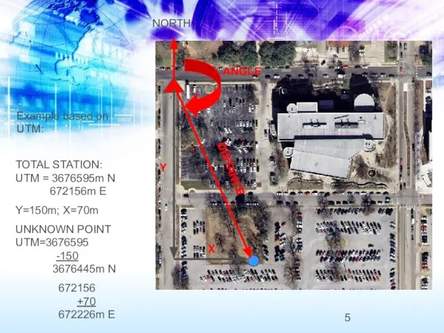
Example based on UTM:
NORTH
ANGLE
DISTANCE
X
Y
TOTAL STATION:
UTM = 3676595m N
672156m E
Y=150m; X=70m
UNKNOWN
Example based on UTM:
NORTH
ANGLE
DISTANCE
X
Y
TOTAL STATION:
UTM = 3676595m N
672156m E
Y=150m; X=70m
UNKNOWN
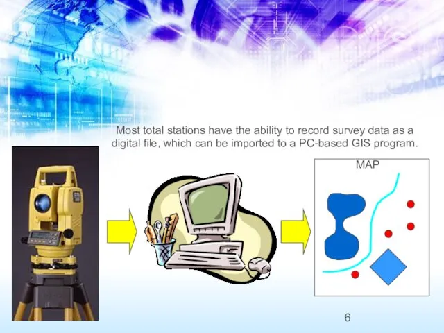
Most total stations have the ability to record survey data as
Most total stations have the ability to record survey data as
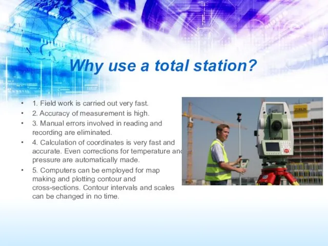
Why use a total station?
1. Field work is carried out
Why use a total station?
1. Field work is carried out
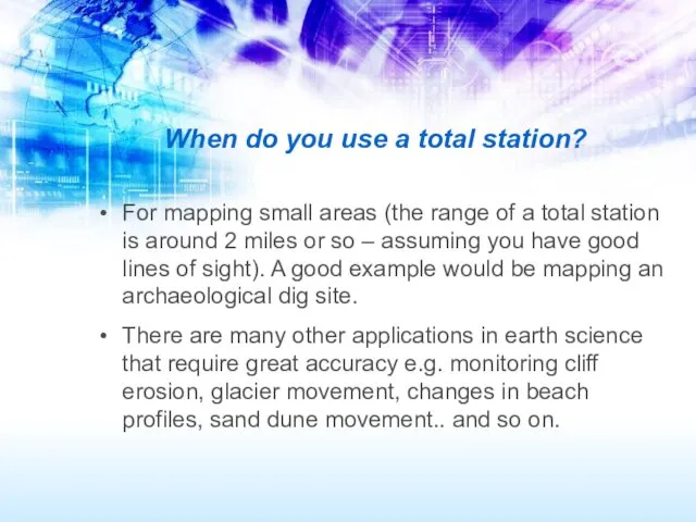
When do you use a total station?
For mapping small areas
When do you use a total station?
For mapping small areas


Comparison of total station and GPS
Comparison of total station and GPS

SMART STATION
Benefits of SmartStation:
■ Control points are not needed;
■
SMART STATION
Benefits of SmartStation:
■ Control points are not needed;
■
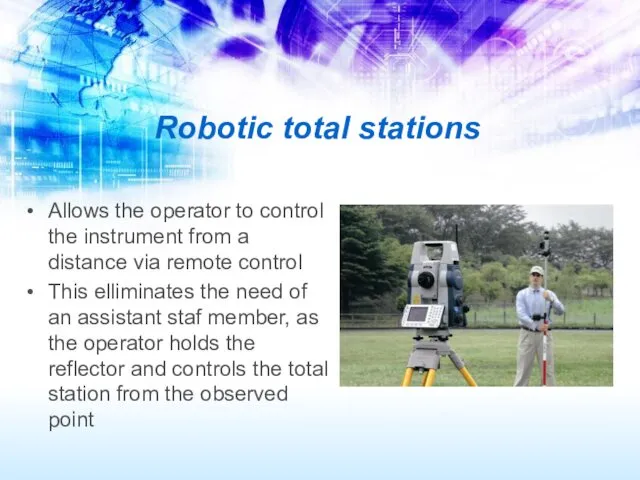
Robotic total stations
Allows the operator to control the instrument from a
Robotic total stations
Allows the operator to control the instrument from a
 Дифракция света
  Теоретическая (техническая) механика
 Определение потока и индукции магнитного поля. (Лабораторная работа 4.1)
 Многоэлектронный атом (Лекция 8)
 Вырождение влияния критериев
 Изобретение радио А.С. Поповым
 Динамика поступательного движения
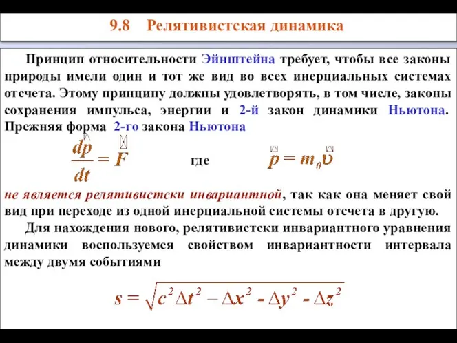 Релятивистская динамика
 Серебряно-цинковые, щелочные аккумуляторные батареи
 Явления смачивания и капиллярности
 Атмосферные явления
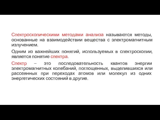 Спектроскопические методы анализа
 Строение вещества Повторение и обобщение темы
 Измерение атмосферного давления. Опыт Торричелли
 Внутренняя энергия
 Максвелл Джеймс Клерк Работу выполнила Ученица 10В класса гимназии №4 им.А.С.Пушкина г.Йошкар-Олы Галиуллина Диана 2008-2009г.г
 НОВЫЕ ПРЕОБРАЗОВАНИЯ ДЛЯ ТЕОРИИ ОТНОСИТЕЛЬНОСТИ
 Первое начало термодинамики
 Основные понятия. Цепи постоянного тока
 Принцип відносності А.Ейнштейна. Основні положення спеціальної теорії відносності (СТВ). Виконала Учениця 10 – Б класу ЕНВК №
 Явление тяготения. Сила тяжести
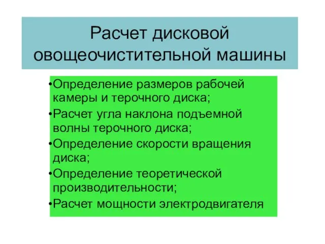 Расчет дисковой овощеочистительной машины
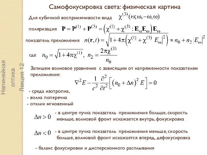 Самофокусировка света: физическая картина
 Окружающий мир. Тест
 Соединения деталей
 Эмилий Христианович Ленц
 Детали механизмов и машин. Подшипники скольжения
 Принцип действия реактивного двигателя