- The development of cadastre in Kazakhstan z completed by students

Содержание
- 2. Мain questions: ~what is a cadastre? ~why do you need a cadastre? ~cadastral history ~Worldwide cadastre
- 3. A cadastre or cadaster is a comprehensive recording of the real estate or real property's metes-and-bounds
- 4. The main directions of the state administration: ~Creation of a single register of databases on property
- 5. HISTORY A cadastre text written in Akkadian on a terracotta tablet. From the 18th century BC
- 6. Worldwide In the United States, Cadastral Survey within the Bureau of Land Management (BLM) maintains records
- 8. Скачать презентацию

Мain questions:
~what is a cadastre?
~why do you need a cadastre?
~cadastral
Мain questions: ~what is a cadastre? ~why do you need a cadastre? ~cadastral
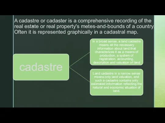
A cadastre or cadaster is a comprehensive recording of the real
A cadastre or cadaster is a comprehensive recording of the real
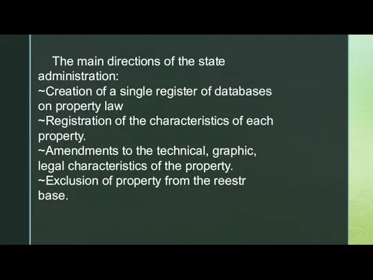
The main directions of the state administration:
~Creation of a single register
The main directions of the state administration:
~Creation of a single register
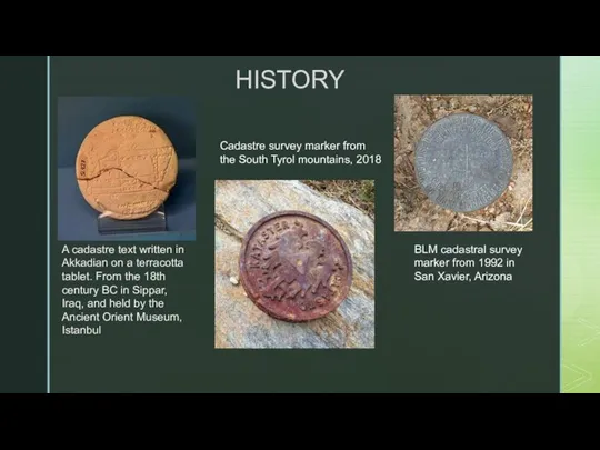
HISTORY
A cadastre text written in Akkadian on a terracotta tablet. From
HISTORY
A cadastre text written in Akkadian on a terracotta tablet. From

Worldwide
In the United States, Cadastral Survey within the Bureau of Land
Worldwide
In the United States, Cadastral Survey within the Bureau of Land
 Туризм гостиничный и ресторанный бизнес
 Лига Полярной Совы. Игра тестовая
 Проект Непрерывная практика как инструмент содействия трудоустройству молодых специалистов
 Powerpoint - Copy
 Аттестационная работа. Планирование работы школы в области проектной деятельности
 Самоорганизация в учебной группе: возможности и пределы
 Информация об организации приема в первые классы на 2021-2022 учебный год
 Представление газеты. Студенческая команда Фунтики
 Особенности формирования образовательной инклюзивной среды. (Лекция 5)
 Компетентностный подход (к теме 3)
 Куда пойти учиться? Какие есть специальности
 Институт психологии, социологии и социальных отношений МГПУ
 Анализ и обоснование актуальности проблематики
 Особенности реализации курса Основы духовно-нравственной культуры народов России (ОДНКНР) в 5 классе
 Презентация проектов в рамках муниципального этапа конкурса Март, 2019 г. Моя страна-Моя Россия
 Коррекционная литература издательства Владос
 Результати моніторингу учнів початкової школи
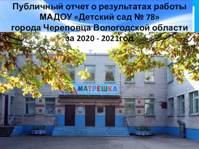 Общеобразовательная программа дошкольного образования МАДОУ Детский сад №78 города Череповца
 Образовательный контент (learning content)
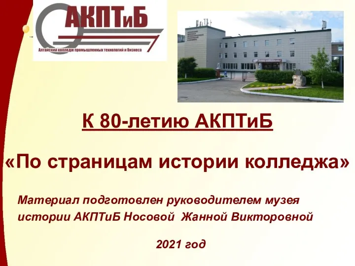 К 80-летию АКПТиБ По страницам истории колледжа
 Дополнительное образование в области физической культуры с детьми дошкольного возраста
 Оборот экзаменационных материалов в пункте проведения экзаменов. Лекционно-практическое занятие. Тема 7
 Образовательные учреждения Кировской области
 Программа: зарубежное регионоведение
 Аттестационная работа. Формирование личности обучающегося, признание её ценности и необходимости для современного общества
 Студия ИДУ-21 для детей, г. Пермь
 РГУ имени А.Н. Косыгина. Кафедра народной художественной культуры
 Система освіти України